1Nature's Secret Sky Code
Clouds are more than just fluffy decorations in the sky; they are actually collections of tiny water droplets or ice crystals floating together. Meteorologists—scientists who study the weather—use these shapes to understand what is happening in the atmosphere. The height of a cloud is one of the biggest clues! High-altitude clouds, like wispy Cirrus clouds, usually sit more than 20,000 feet above the ground. Because it is so cold up there, these clouds are made entirely of ice, even during a hot summer day. When you see them, it often means the weather is about to change within the next 24 hours.
2Meet the Fluffy Cloud Family
You can identify most clouds by looking for three main shapes: Cirrus (wispy), Cumulus (puffy), and Stratus (flat). Puffy Cumulus clouds are the ones that look like floating cotton balls with flat bottoms. If they stay small and white, it is usually a sign of fair weather. However, if you see Lenticular clouds, which look like giant flying saucers or stacks of pancakes, you know there are strong winds blowing over mountains nearby. These strange-looking clouds stay in one place even when the wind is blowing hard, creating a spectacular sight for anyone looking up.
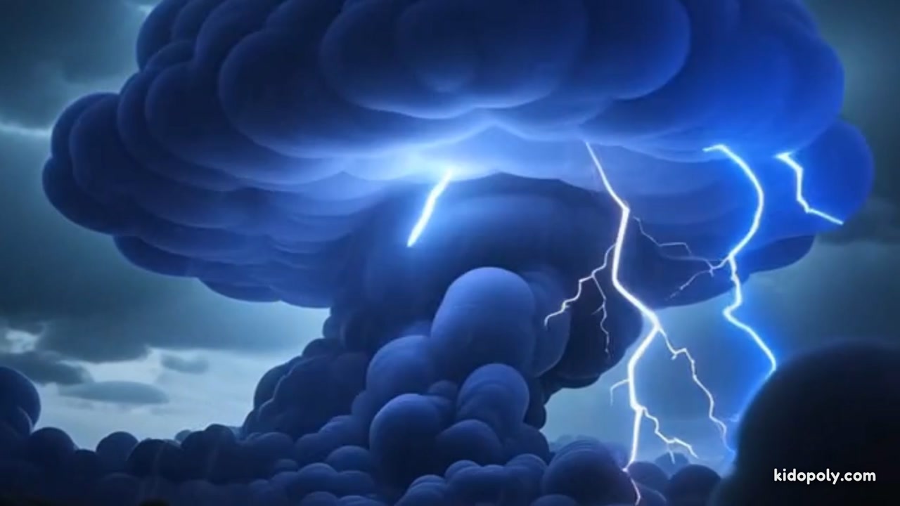
3Spotting the Storm Warnings
The most important cloud to recognize is the Cumulonimbus. These start as small, puffy clouds but grow vertically until they look like giant towers or mountains in the sky. They can reach the very top of the troposphere, where the wind flattens their tops into the shape of a blacksmith's anvil. If you see a cloud with a flat, anvil-shaped top, a thunderstorm is definitely on the way! These giant clouds can hold millions of tons of water and are responsible for heavy rain, hail, and even lightning, serving as nature's loudest warning to find a safe place indoors.